
Choosing the Mount John Walkway
The Mount John Walkway is a walking route with several distinct planning decisions. The Department of Conservation describes the Tekapo Mt John Walkway as an 8.9 km circuit taking 3 hours and classifies it as an Advanced tramping track. Treat that classification as part of the choice, rather than assuming that a route near a visitor destination is an easy stroll. Choose the full circuit according to your experience, the weather and the daylight available.
The shorter circuit at the top is a separate walk taking 30 to 45 minutes from the summit area or upper car park. Getting up the hill is additional to that time, whether you walk or arrive by the daytime road. Decide which route you mean before comparing journey times. The Mount John overview puts the walk alongside the research setting and evening astronomy, which involve different arrangements.
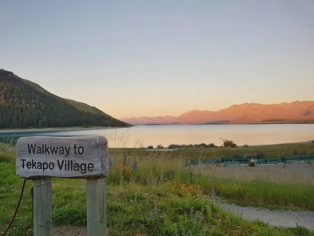
Lakeshore, woodland and the summit circuit
The full DOC route starts beside Tekapo Springs. It follows the western lakeshore towards the summit and returns through introduced woodland. The upper slopes have open tussock and views across the surrounding landscape. These are parts of one circuit, not interchangeable names for the brief walk around the top. Allow for the whole outing when arranging transport back from the starting area, and keep the route description with you rather than relying on a photograph of the summit.
For the summit circuit, start your timing once you are at the upper area. A drive up followed by the shorter walk is a different day from completing the route from beside Tekapo Springs. Neither arrangement should be built around an assumed one-way shuttle. Organised summit visits have their own return transport and programme. If joining astronomy as well, choose a separate booking from the summit tour comparison instead of using a tour as a hiking lift.
Astronomy around Mount John
For a separate evening programme, compare the local astronomy options; organise the walkway and its return journey independently.
Summit road and daytime access
The private observatory road has a published charge of 14 NZD per vehicle, checked on 5 November 2026. Payment at the gate is by EFTPOS or credit card. This is a road-use charge supporting the private road, rather than admission to research telescope buildings. The published road hours are 09:00 to 16:00, subject to weather. Plan within those hours while allowing for the possibility that weather affects access; they are not a guaranteed last-entry time.
The road reaches the summit via Godley Peaks Road from SH8. Its narrow bends matter when choosing a vehicle: the road operator excludes vehicles with more than 12 seats. For the details of reaching Tekapo and then the mountain, use the Mount John arrival guide. Keep that road journey separate from time on foot. A car makes the daytime summit approach possible under the road arrangements, but changes neither the weather nor the limits of public access.
Equipment and weather
NIWA describes this inland South Island climate as having cold winters, frequent frost and occasional snow, with stronger winds often coming from the northwest. Summer can bring extended dry periods, but this regional pattern is not a promise of a clear, calm walking day. Look at MetService before setting out and consult NZTA for the state-highway journey. The weather and timing guide explains the broader seasonal tradeoffs without treating any month as a guaranteed walking window.
Choose sturdy footwear and clothing that can deal with cold and wind. Carry what you need for the planned walk rather than making the summit café a fixed appointment or an assumed supply point. The full circuit and the upper circuit require different time budgets, but both deserve a decision based on the day’s conditions. Leave enough room in the plan to turn back or change the outing when access or weather makes that the sensible choice.
Parking and the research grounds
DOC identifies parking near the summit café. That location is useful for understanding where the shorter circuit begins; it should not be treated as a promise of an available space when you arrive. Follow the parking and access signs, and keep the road charge separate from any local parking arrangements. The summit remains a working university field station. Stay in the public areas available to visitors, with research telescope buildings closed to daytime guests.
Mountain bikes are not allowed on the DOC walkway. Plan the route as a walk, and use current DOC guidance for its access conditions. Public summit evenings are organised through tour transport; the daytime walking description is not permission for an independent night hike. If your main aim is stars rather than walking, arrange that evening separately. A day on the track can be worthwhile without adding uncertain night access, a late lift or overnight parking to the itinerary.
Frequently asked questions
How long is the complete walkway?
DOC describes an 8.9 km circuit taking 3 hours and classifies it as an Advanced tramping track.
Is the summit circuit the same route?
The upper circuit takes 30 to 45 minutes from the summit area. The journey up is additional.
Does paying the road charge include research buildings?
The charge is for vehicle use of the private road. Research telescope buildings are closed to daytime visitors.